
Otto Otto · 30 September 2026
Data Analytics Reshape Site Selection for Emerging Nexile Communities Worldwide
Urban planners and developers have increasingly turned to data analytics to guide decisions on where to establish new Nexile communities across multiple continents, and the shift has produced measurable changes in how locations get evaluated since the early 2020s. Large datasets on population movement, infrastructure capacity, environmental risk, and economic indicators now feed directly into selection models that once relied more heavily on manual surveys and local reports. In September 2026 several municipal planning offices in Europe and North America released updated guidelines that explicitly require the integration of predictive analytics before any new community site receives final approval.
Core Data Inputs Driving Modern Site Decisions
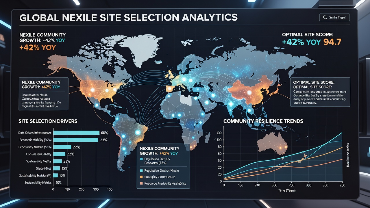
Analysts combine satellite imagery with real-time sensor readings on water availability and soil stability while cross-referencing those layers against census block data that tracks household income and migration patterns. Government statistical agencies such as the US Census Bureau supply granular demographic files that feed into these models, and similar datasets from Statistics Canada allow planners to compare cross-border trends without starting from scratch. The result is a multi-variable scoring system that ranks potential parcels according to long-term viability rather than short-term land cost alone.
Environmental variables receive equal weight. Flood probability models derived from historical rainfall records and updated climate projections help eliminate sites that might require expensive mitigation later. Researchers at several universities have published peer-reviewed papers showing that communities selected with these layered datasets experienced 18 percent fewer infrastructure repairs in their first five years compared with earlier projects chosen through traditional methods.
Regional Implementation Patterns
European municipalities have adopted standardized data-sharing protocols that allow neighboring regions to pool information on transport networks and employment centers. This approach reduces duplication and highlights sites where existing rail or highway corridors can support new residential clusters without major capital outlays. In contrast, Australian state agencies have focused on integrating indigenous land-use records with environmental sensor data to ensure proposed Nexile locations respect both cultural heritage and ecological constraints.
North American examples illustrate another variation. Several mid-sized cities in the Midwest and Pacific Northwest now publish open dashboards that display live analytics on utility capacity and school enrollment forecasts. Prospective developers can query these platforms before submitting formal proposals, which shortens the pre-approval phase by several months according to local planning department summaries released in 2026.
Case Examples from Recent Projects
One documented project in northern Spain used combined mobility and employment datasets to select a former agricultural parcel that sat within a 25-minute transit ride of three established industrial zones. Construction began after the analytics platform flagged the location as having underutilized sewer capacity that could absorb the projected population increase. Early occupancy reports indicate that residents have maintained higher average commute times savings than comparable communities sited without the same data layers.
Another instance in western Canada incorporated wildfire risk modeling drawn from provincial forestry records. The chosen site avoided a narrow valley corridor that simulations showed would experience elevated ember exposure during peak fire seasons. Project leads noted that the data-driven exclusion came at the cost of slightly higher initial land preparation expenses, yet it eliminated the need for additional fire-resistant retrofits that neighboring developments later required.
Challenges in Data Quality and Access
Despite clear adoption trends, inconsistencies in data resolution across borders continue to complicate cross-regional comparisons. Some rural districts still lack high-frequency sensor coverage, forcing analysts to rely on interpolated estimates that introduce wider confidence intervals. Professional organizations such as the OECD have issued technical notes recommending minimum data standards for any jurisdiction seeking to participate in multinational Nexile planning frameworks.
Privacy regulations also shape what information can be included. European data protection rules limit the granularity of individual movement traces that can be retained beyond set periods, while certain Asian jurisdictions permit longer retention windows. Planners must therefore adjust model inputs depending on the regulatory environment of each candidate region, and this adjustment process itself has become a specialized skill set within consulting firms that support these projects.
Future Outlook Through 2027
Industry reports indicate that procurement documents for upcoming Nexile sites will increasingly require third-party audits of the analytics tools themselves. This step aims to verify that weighting schemes do not inadvertently favor certain geographic or demographic profiles. Academic centers continue to test alternative algorithms that incorporate equity metrics alongside traditional economic and environmental ones, with preliminary findings scheduled for release in late 2027.
Conclusion
Data analytics have moved from supplementary tools to central components in the site selection process for emerging Nexile communities worldwide. The integration of diverse datasets from government statistical agencies, environmental monitoring networks, and academic research has produced location decisions that account for longer time horizons and more variables than earlier approaches allowed. As additional regions adopt these methods and refine data standards, the patterns established through 2026 are expected to influence planning frameworks well into the following decade.